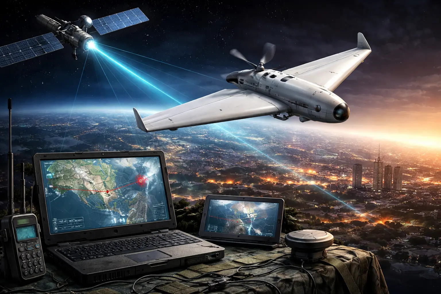
The Shahed-136, an Iranian-designed loitering munition (often called a kamikaze drone), is guided using relatively simple but effective navigation technology. Instead of being remotely piloted throughout the mission, the drone follows a pre-programmed flight path based on satellite navigation coordinates.
1. Satellite Navigation Systems
The drone’s primary navigation relies on Global Navigation Satellite Systems (GNSS), mainly:
- GPS (Global Positioning System) – the U.S. satellite navigation system
- GLONASS – Russia’s satellite navigation network
These systems allow the drone to determine its exact position during flight and guide itself toward target coordinates entered before launch.
2. Inertial Navigation System (INS)
Along with satellite navigation, the Shahed-136 also uses a commercial-grade inertial navigation system.
This system contains sensors such as:
- Gyroscopes
- Accelerometers
If GPS signals are lost or jammed, the drone can still estimate its position and continue flying toward the target using internal calculations.
3. Differential GPS (DGPS) for Accuracy
Some newer versions reportedly include Differential GPS (DGPS) modules. DGPS uses additional correction signals to improve positioning accuracy, making the drone more precise when striking targets.
4. Multi-Satellite Compatibility
Certain components discovered in Shahed drones indicate that their antennas may receive signals from multiple satellite systems, including:
- GPS (USA)
- GLONASS (Russia)
- BeiDou (China, in some variants)
Using multiple navigation networks helps the drone remain operational even if one system is jammed or unavailable.
5. Autonomous Navigation
Unlike many military drones, the Shahed-136 generally does not rely on continuous human control during the mission. Instead:
- Target coordinates are programmed before launch.
- The drone uses satellite navigation to follow the route.
- It strikes the target and detonates on impact.